Services
-
![]()
Construction Progression
Stay on top of your construction projects with our 2D mapping and 3D modeling services. We provide detailed, up-to-date visuals that allow you to monitor progress efficiently, ensuring your project stays on track. Experience a new, streamlined way to manage construction progression through comprehensive, accurate data. Overlay your plans and utilize powerful tools to gain deeper insights and keep your project moving forward
-
![]()
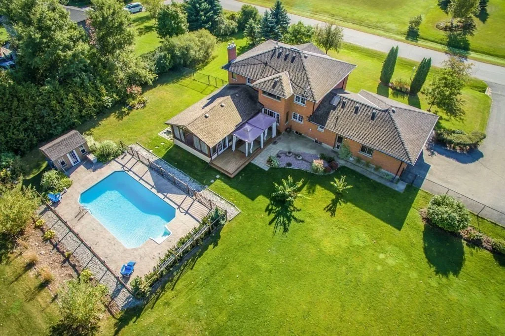
Real Estate Photo & Video
Enhance your real estate listings with our professional photography and videography services. We create stunning visuals that showcase properties in their best light, helping to attract potential buyers and renters. Our team delivers high-quality images and videos that highlight the unique features of each property, making your listings stand out in a competitive market
-
![]()
Infrastructure Inspection
Drone mapping offers a vital checkup for your infrastructure. By delivering accurate maps and models, it helps quickly identify issues and track progress, ensuring the health and longevity of your assets
-
![]()
LiDAR Topography
LiDAR topography offers high-resolution, 3D mapping of the Earth's surface using advanced laser technology. Our service penetrates dense vegetation to reveal detailed and accurate ground data, ideal for land development, environmental monitoring, and infrastructure planning.
-
![]()
Volumetric Cut & Fill Analysis
Track material volumes with precision. Our service provides an accurate overview of what's been moved in or out, from soil to aggregates. This tool ensures accountability and optimizes project planning by verifying material quantities.


