
360 Drone Mapping, LLC
Elevate Your Vision: A New Dimension In Project Mapping
MODEL IT
MEASURE IT
TRACK IT
MAP IT
Watch A Project
FAA Certified Pilots
- - -
Fully Insured
- - -
FAA Certified Pilots - - - Fully Insured - - -


3D Reality Capture - View your project from any angle


Looking for a comprehensive, all-in-one
reality capture solution?
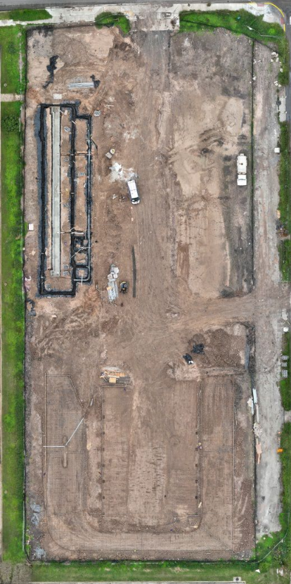
Week 1

Week 2

Week 3

Week 4

Week 8
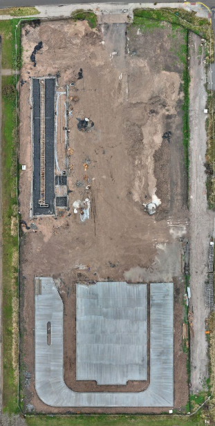
Week 12

Week 16


Week 20

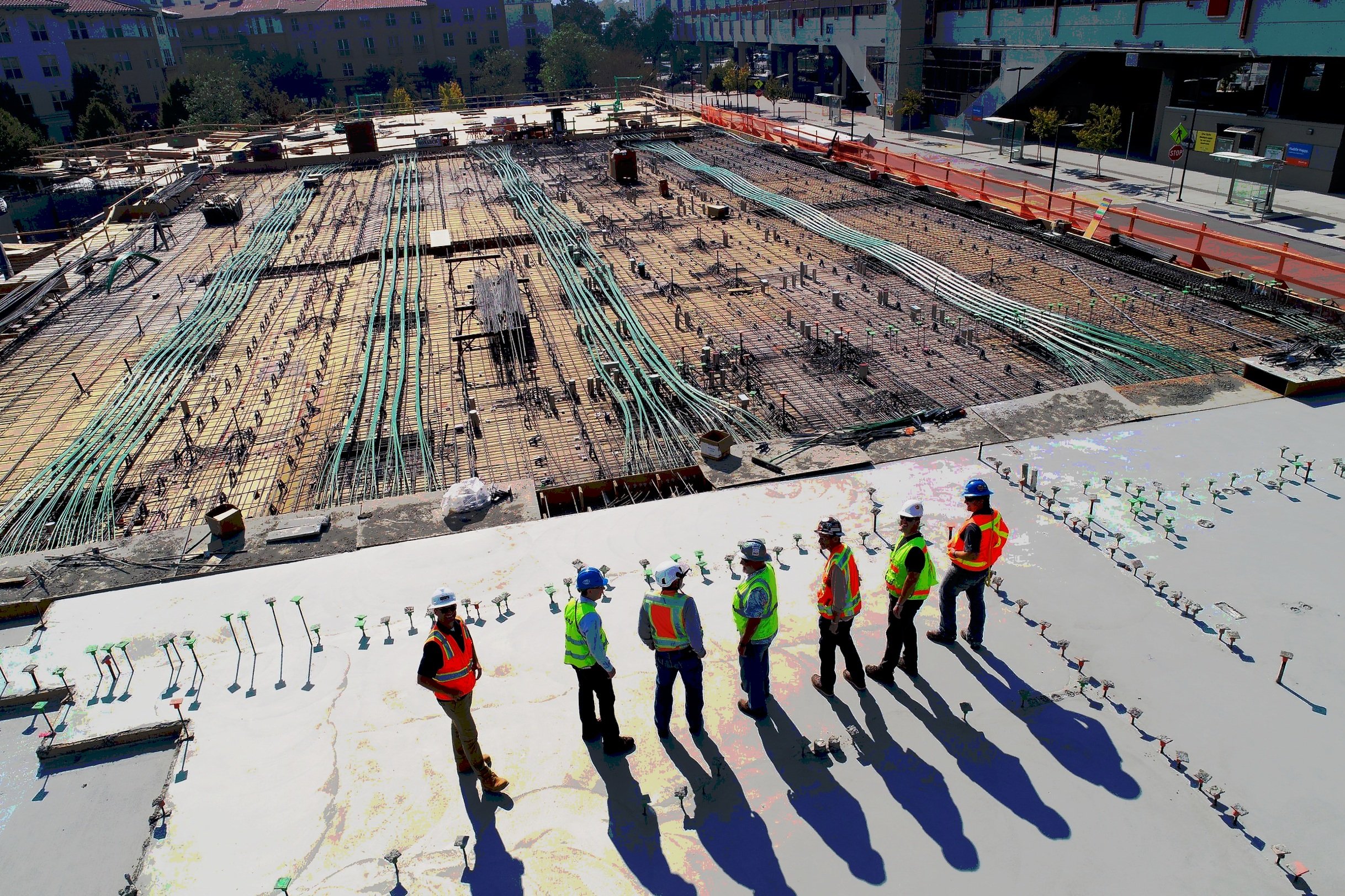
Dynamic Construction Progress Monitoring
We specialize in providing comprehensive updates for construction projects through the capture of 2D maps, 3D models, and videos. Our reporting is tailored to your needs, offering weekly, bi-weekly, monthly, or quarterly insights into construction progression.


Optimize Your Team

Make the most of our tools
Maximize operational efficiency with our versatile tools, offering volumetric measurements for accurate material assessment and area analysis for precise spatial evaluation. Leverage these features to optimize resource allocation and enhance overall productivity in your projects.
Save Time
Efficiently manage your construction site remotely with our advanced solutions. Utilize virtual collaboration platforms and streamlined communication channels to oversee project progress from anywhere. Our technology empowers you to make informed decisions swiftly, address issues promptly, and ensure seamless coordination among team members.

Surpass Project Timelines
Stay ahead in project timelines with our proactive construction management tools. Utilize advanced features, timeline analysis, and strategic resource allocation for efficient workflow. Anticipate delays, address challenges proactively, ensuring your project exceeds goals, achieving efficiency.


